

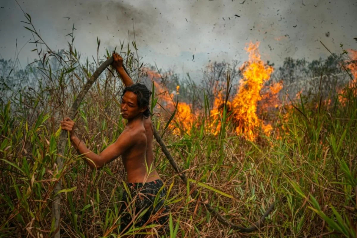
Nusantara Atlas estimates fires had burned nearly 896,000 hectares in Indonesia by the end of August, as haze spread to Malaysia and Singapore. Indonesia’s health ministry said last week that respiratory illness cases in haze-hit provinces topped 170,000.
Government figures recorded more than 202,000 hectares burned from January through July, up 69% from the same period last year, but have not been updated. South Papua was the worst-hit province as of August, with over 168,000 hectares burned, according to Nusantara Atlas. Experts said human activity, including slash-and-burn clearing and peatlands drained for planting, is a key factor; El Niño’s dry conditions act as a trigger. Pantau Gambut detected more than 212,000 hotspots in peat ecosystems in the first eight months of the year, over twice the figure during the strong 2015 El Niño.
Indonesia deployed firefighters and volunteers and used cloud-seeding and water-bombing, with limited success; Malaysia and Japan offered assistance. Authorities revoked permits for five companies accused of contributing to the fires and froze dozens more permits. President Prabowo ordered a new agency to manage peat and mangroves and prevent fires after a similar agency’s mandate expired in 2024. A Pantau Gambut campaigner urged it to focus on peat management rather than create a new structure. A forestry ministry official said 100 animals, including 53 orangutans, were rescued; fires were detected in habitats containing 52% of Borneo’s orangutan population, the IUCN said.
