

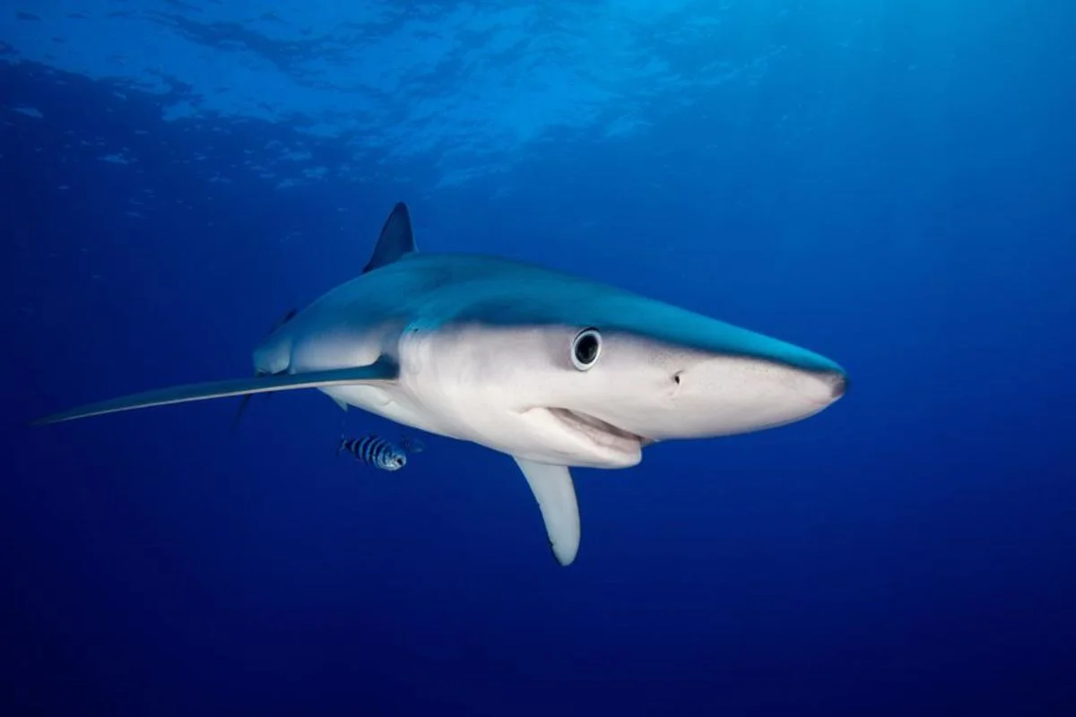
Satellite tracking of 82 blue sharks, leatherback turtles and fin whales in the Northwest Atlantic found all three selected certain ocean habitat types, or “Seascapes,” including productive waters. Fin-whale results were less certain.
Researchers matched monthly maps to more than 117,000 location points from 28 blue sharks, 26 leatherback turtles and 28 fin whales, then compared habitat use with availability. The global Seascape maps combine conditions including sea-surface temperature, salinity, sea ice, ocean height and biological productivity; NOAA CoastWatch makes them freely available. Sharks and turtles selected several productive coastal or bloom environments, while fin whales selected seasonal polar blooms and freshwater-influenced shelf waters.
Researchers say monitoring these conditions could help identify when animals may overlap with threats such as fishing. They caution that preferred Seascapes can extend hundreds of kilometres, while many management decisions require finer-scale information. More species and longer tracking records are needed, particularly because fin-whale data covered fewer months. The authors suggest future work could pair the maps with forecasting systems and climate models to examine possible habitat shifts.
