

Israel’s Civil Administration Blue Line Team revises West Bank land maps, a process that can open land to settlement projects. A Palestinian report says recent changes designated nearly 49 acres in four villages for settlement activity.
The National Bureau for Defending Land and Resisting Settlements, a PLO-affiliated body, says the team was created in 1999. Israel’s Civil Administration describes revisions as corrections to historic surveying errors; the UN says they have expanded boundaries of land Israel recognizes as state property. Al Jazeera said Israeli authorities had not responded to its request for comment.
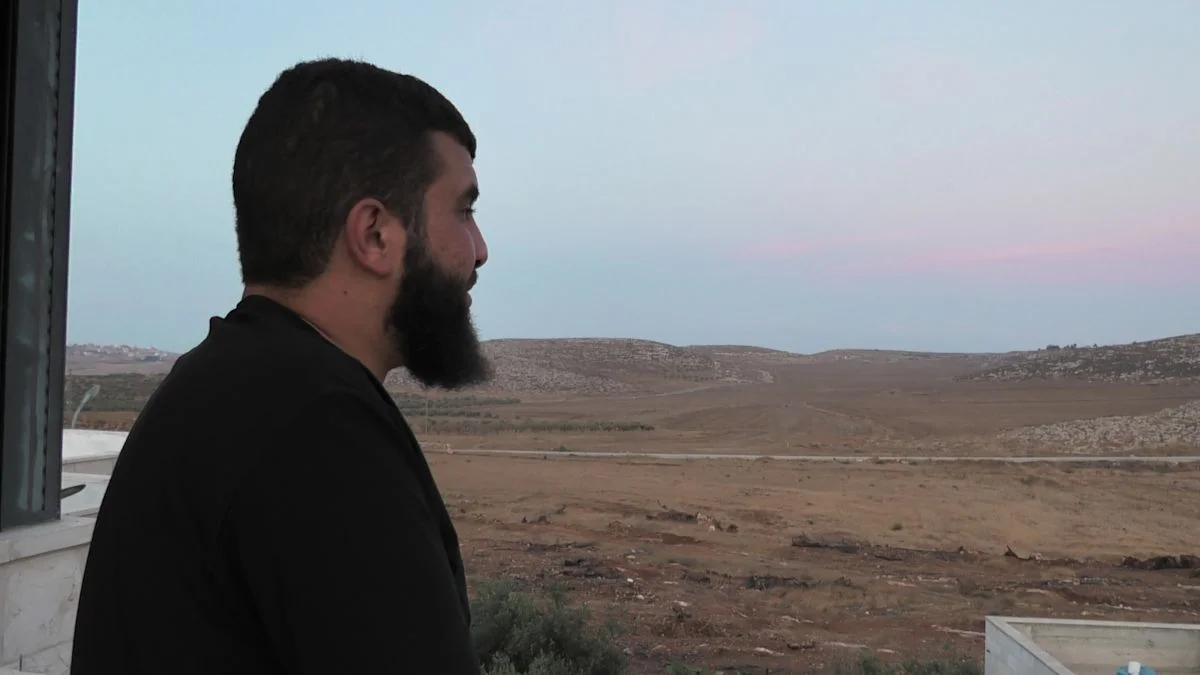
In al-Mughayyir, Bilal Abu Alia says his family can now access only a small part of its original 100 acres. He says bulldozers uprooted olive trees and that he, his father and uncle were arrested and held for three days after trying to collect wood. Adnan Kmail says 25 acres belonging to his family were cleared for an army outpost; the land had supplied olive-oil income to more than 70 family members, with about 5,000kg produced each season. Separately, the bureau says two military orders confiscated nearly 14 sq km around Qabatiya.
