

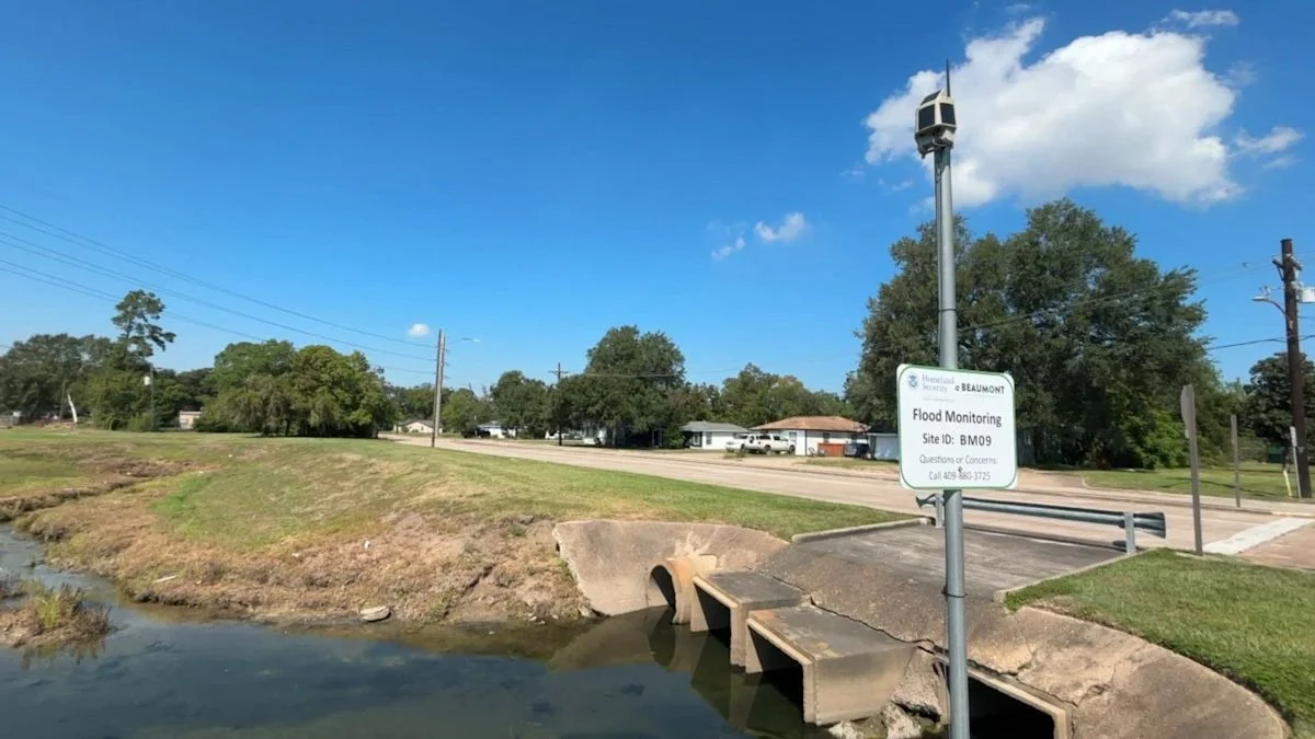
Lamar University is expanding its Southeast Texas flood network with 35 additional sensors and 50 rain gauges under a General Land Office grant. Its 80 sensor sites cover about 6,000 square miles in seven counties; residents can view data online.
The project began at Lamar in 2019 and joined a federal low-cost flood-sensor experiment in 2020, when the university received about 70 sensors. Data is shared with agencies including the National Weather Service, TxDOT and Houston TranStar; the Sabine River Authority hosts the public website. Cameras provide daily images, while other equipment measures water depth and rainfall.
Separately, Orange County Drainage District plans to expand its own network from nine sensors to 19; Jefferson County Drainage District No. 7 plans to grow from four to 10, and Port Arthur from three to six. Lamar professor Nicholas Brake said collaboration makes the data available to smaller and rural counties for a few thousand dollars a year, compared with his estimate of $200,000–$300,000 to operate an 80-sensor network covering 6,000 square miles.
